Expertise en topographie à Casablanca

4d Survey : Services de topographie pour vos projets géospatiaux.

5 étoiles sur 5

★★★★★

Notre équipe, votre partenaire en topographie.

Bienvenue chez 4d Survey, experts en topographie à Casablanca, nous offrons des services de précision pour tous vos projets géospatiaux, alliant technologie de pointe et passion pour la cartographie.

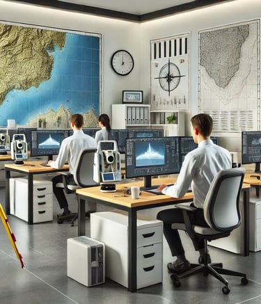
4D Survey bureau d’étude de topographie , vous propose ses services de qualité en topographie,VRD, auscultation et scannérisation 3D.

A surveyor's tripod with a total station is set up on a grassy hill overlooking a sprawling rural area with fields and industrial buildings. The sky is overcast, slightly obscuring the distant horizon, and there is a utility bag on the ground nearby.
Services de topographie de qualité supérieure.

Client satisfait

"

Services de topographie

Expertise en données géospatiales pour vos projets de planification et de conception.

Topographie précise

Nous offrons des services de topographie pour garantir la précision de vos projets géospatiaux.

A close-up of a surveying instrument, specifically a total station, mounted on a tripod. The instrument features an orange cylindrical target with a reflective surface and a black and yellow square backing with a cross pattern. The background is blurred, showing some cars and trees, suggesting an outdoor setting.
Modélisation du terrain

Notre équipe passionnée excelle dans la modélisation du terrain pour des résultats fiables et précis.
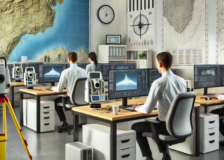
A surveying instrument mounted on a tall pole stands in the foreground, with a bright blue sky and scattered clouds above. In the background, there are several modern high-rise buildings, indicating an urban area.

Nos Projets

Découvrez notre expertise en topographie à travers nos réalisations.

Hands are holding a topographic map and a compass. One hand is pointing at a specific location on the map, indicating navigation or orientation. The map is detailed with green shades, representing terrain or elevation.
Projets Réalisés

Analyse et cartographie de divers terrains et projets complexes.

A person wearing a reflective safety vest stands outdoors on grassy terrain. They are holding equipment and seem engaged in some form of land survey work. Nearby, a tripod with a white circular device is set up, casting a shadow on the ground.
Three men are working on a green field; one is operating a theodolite on a tripod, while the other two are kneeling on the grass, marking or measuring points. In the background, a small airplane is parked in front of a hangar, which has bold numbers painted on its roof. The sky is partly cloudy, and there is a tall communications or weather tower near the hangar.
Études Topographiques

Témoignages de clients sur nos services de topographie.

Avis Clients

Découvrez ce que nos clients pensent de nos services topographiques.

4D Survey a transformé notre projet avec une précision exceptionnelle et un service impeccable.

Sofia L.
A close-up black and white photograph of a detailed topographic map. The map features contour lines, place names, and various markings indicating geographical features. It appears to be held in a hand, positioned at an angle that highlights its texture and intricate details.

Casablanca

L'équipe de 4D Survey a fourni des données géospatiales précises, essentielles pour notre projet. Leur expertise a été un atout majeur pour nous.

A black and white photograph of a close-up hand holding a detailed topographical map. The map displays contour lines, bodies of water, and textual labels of locations such as Thayer Lake. The background is blurred, suggesting the photo was taken inside a vehicle.
Marc D.

Rabat

★★★★★
★★★★★